MOSQUERA
Department

Flag of the city
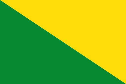
Pennant of two bands. Wealth, Sovereignty and Justice are embedded within the yellow color. Because yellow are also the Ears that adorn their fields. The lower band is green, representing the virtue of hope. The proportion of the flag must always be two points wide and three points long, whatever its size.

Slogan of the city
The city does not have a specific slogan, however, the slogan of its department is “Cundinamarca, Heart of Colombia”. This slogan emphasizes the relevance of the department in Colombia
History
Mosquera, located near Lake Herrera, holds historical significance dating back to the preceramic period. The area was founded on 27 September 1861 and inhabited by the Muisca civilization from around 800 AD. The Muisca were an advanced culture known for agriculture on the high plains of the Bogotá savanna. They cultivated a variety of crops, including maize, potatoes, arracacha, quinoa, sweet potatoes, yuca, peppers, tomatoes, beans, and pumpkins. The Muisca economy revolved around salt extraction from the northern parts of the Bogotá savanna. They engaged in trade, exchanging fruits and agricultural products with different climates. Funza, of which Mosquera was a southern part until 1861, was founded by the conquistador Gonzalo Jiménez de Quesada on April 20, 1537. The Spanish conquest marked a significant shift in the region’s history. Presently, Mosquera has evolved into a satellite town of the capital, Bogotá. It has experienced substantial growth in recent years, reflecting its role as an urban center within the Bogotá metropolitan area. In 2022, Mosquera gained attention due to an unusual occurrence where a type of white foam covered the town. Residents reported an unpleasant smell accompanying the foam, and it affected large parts of the municipality. While locals took precautions such as using inhalers, no adverse effects on public health were officially recorded. This event added a unique chapter to the town’s recent history.
Geography of the city
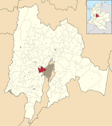
Situated at coordinates 4°42′28″N latitude and 74°13′58″W longitude, Mosquera is strategically located within the Bogotá metropolitan area. The municipality and city of Mosquera cover a total area of 105.9 square kilometers (40.9 square miles). Within this expanse, the urban area spans 14.55 square kilometers (5.62 square miles). Nestled at an elevation of 2,516 meters (8,255 feet) above sea level, Mosquera enjoys a high-altitude setting. As of the 2018 census, Mosquera had a population of 130,221 residents within the entire municipality and city. The density was reported at 1,200 individuals per square kilometer. The urban area accounted for 128,012 residents, with an urban density of 8,800 individuals per square kilometer. These figures reflect the demographic landscape of Mosquera, highlighting its role as a populated urban center.
Population
Municipality and city 130,221(2018 census)
Urban 128,012 (2018 census)
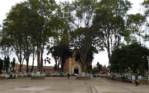
One photo representative of the city

Etymology
The name “Mosquera” is derived from its founder, Tomás Cipriano de Mosquera, who served as the President of Colombia. The town was named in his honor when it was separated from Funza in 1861. The choice to name the municipality after a significant political figure reflects the historical and political context of its establishment, commemorating the contributions of President Tomás Cipriano de Mosquera to the region and the country.
What the city is known or famous for
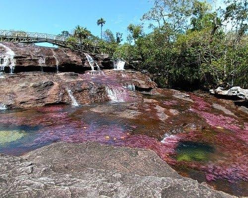
Mosquera is known for its agricultural activities. The city’s historical background, as mentioned earlier, highlights the advanced agricultural practices of the Muisca people in the region. While the specific modern agricultural activities may have evolved, the city maintains a connection to its agricultural heritage. Contemporary Mosquera is recognized for its contributions to the agricultural sector, which could include the cultivation of various crops, livestock farming, or other agricultural enterprises. Additionally, the city’s agricultural products contribute to the local and regional economy.
