OCAÑA
Department
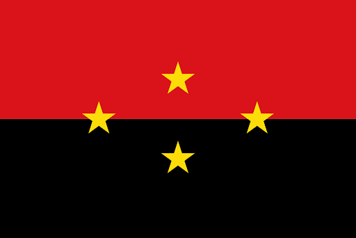
Flag of the city
The flag of Ocaña, characterized by its green and white colors, holds symbolic significance for the city. Green is often associated with nature, growth, and fertility. White is commonly linked to purity, peace, and harmony. The combination of these colors could potentially reflect themes such as the city’s connection to nature, agricultural activities, or a sense of unity and peace.

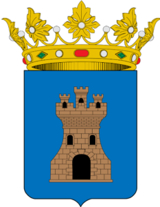
Slogan of the city
While Ocana seems not to have a specific slogan, the city is known as the second largest populated center of Norte de Santander department with a huge rule during the independence of Colombia from the Spanish monarchy.
History

Ocaña, founded on December 14, 1570, by Captain Francisco Fernández de Contreras, was initially named Santa Ana de Hacarí. However, in 1575, it was officially designated as Ocaña. During colonization, it played a crucial role as a commercial route connecting Pamplona with the Colombian Caribbean Coast. The city gained significance during the Viceroyalty, and all Spanish merchandise bound for the Magdalena River had to pass through Ocaña. In 1828, Ocaña hosted the Convention of Ocaña, a pivotal but inconclusive meeting led by Vice-President Santander aimed at reforming Gran Colombia’s constitution. In 1849, during the New Granada period, the Congress established the province of Ocaña, focusing on infrastructure, education, and public organization. Ocaña embraced a Librecambista model in the late 19th century, establishing commercial routes with Europe and North America. In 1935, the History Center of Ocaña was founded, evolving into the History Academy of Ocaña. This institution aimed to promote culture and included influential figures such as Lucio Pabón, a governor of Norte de Santander, the writer Luis Eduardo Paez Courvel, and the esteemed poet Jorge Pacheco Quintero. Throughout its history, Ocaña has played a vital role in commerce, politics, and cultural development in the region.
Geography of the city
Ocaña is situated at a location with coordinates 8°14’N 73°21’W, approximately 610 km from Bogotá. The city covers a surface area of 460 km2, representing 2.2% of the total area of North Santander Department. Positioned on the Andean Eastern mountain range, Ocaña is surrounded by peaks reaching an altitude of 2,600 meters above sea level. The city itself is located at an elevation of 1,202 meters above sea level. Ocaña experiences an average temperature of around 22 °C. The mountainous terrain contributes to the city’s unique topography and climatic conditions.

Population
Municipality and city 129,308 (2020)
Urban 116,232 (2020)
One photo representative of the city

Etymology
The city of Ocaña received its name to honor Don Pedro Fernández del Busto, who was born in Ocaña, Spain. The indigenous peoples in the region traditionally referred to as Hacaritamas and those associated with the Mosquito Culture or Bajomagdalenense were part of the historical and cultural context of the area. The naming of the city reflects its historical ties to Spanish heritage and the indigenous communities present in the region.
What the city is known or famous for
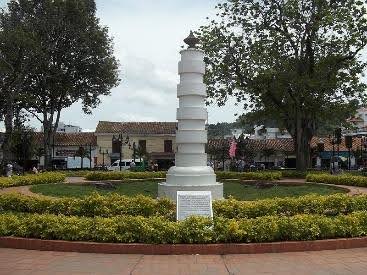
Ocaña is known for its historical significance as a colonial settlement and its role in commerce during the Viceroyalty period. The city served as a commercial route connecting Pamplona with the Colombian Caribbean Coast. Ocaña played a pivotal role in the Convention of Ocaña in 1828, where attempts were made to reform Gran Colombia’s constitution. In the 19th century, Ocaña adopted a Librecambista model, establishing commercial routes with Europe and North America. The city has a rich cultural heritage, evident in institutions like the History Academy of Ocaña, promoting culture and featuring influential figures in literature, history, and the arts.
