Facatativa
Department
Cundinamarca, Colombia

Flag of the city
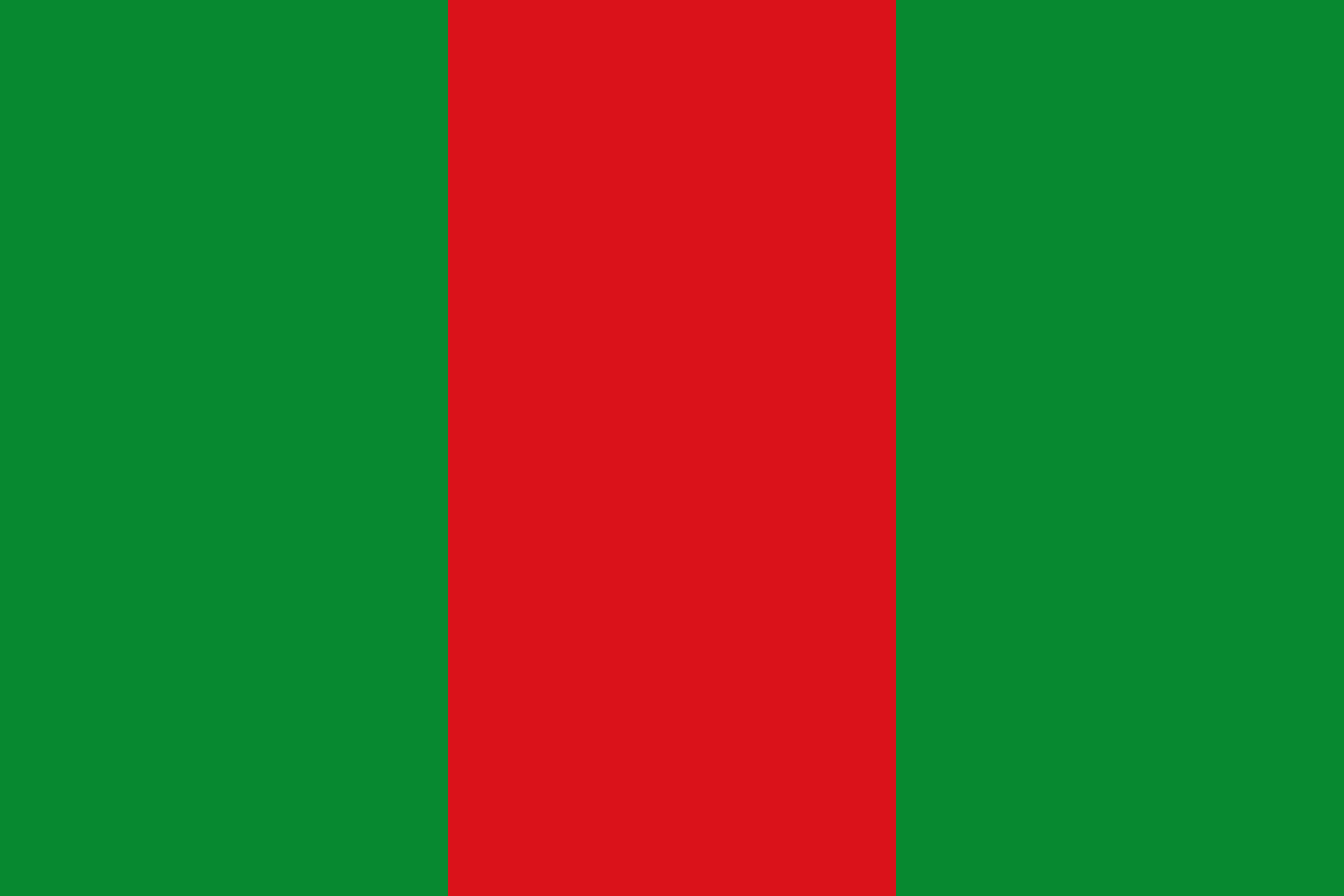
The flag representing the municipality of Facatativá in Cundinamarca features three vertical bands of equal width. The central band is collared red, while the two outer bands are green. Regardless of the flag’s overall size, its dimensions should maintain a proportion of two units in width to three units in length. The Colombian Academy of History gave its official endorsement to both the flag and the coat of arms during a session held on September 3, 1974.
Seal of the city
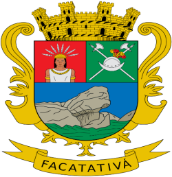
Coat of arms of Facatativá, Cundinamarca, Colombia: The shield, styled in a Spanish design, is partitioned and segmented. It prominently features a walled crown at the top and displays the city’s name, Facatativá, on a ribbon at the bottom. The top right section showcases the head of an indigenous individual in its natural hue. The top left section depicts a silver helmet with gold and red feathers, set above two silver spears. The bottom depicts the enclosures of the Zipas set against a backdrop of a blue sky.
Slogan of the city
The slogan for the city of Facatativá is “Present and future of Cundinamarca” or, in Spanish, “Presente y futuro de Cundinamarca.” This suggests the significance of Facatativá in the broader context of the Cundinamarca department, highlighting its pivotal role in the current dynamics and future developments of the region.
History
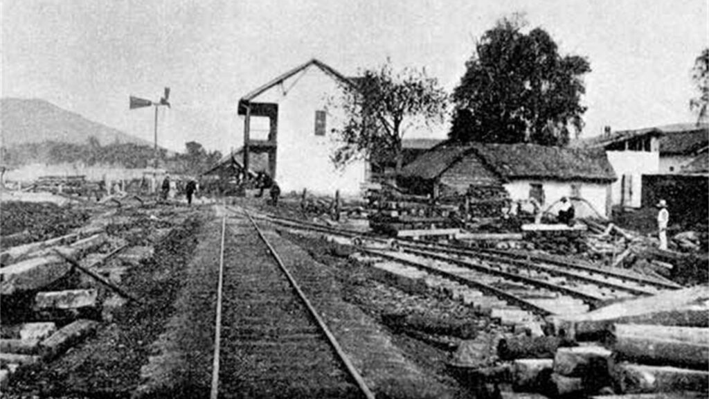
The origins of Facatativá can be traced back to indigenous Andean cultures, akin to many found across Latin America. While there isn’t a definitive record pinpointing the onset of human activity in this region, archaeological digs suggest that Colombia’s highlands might have been populated since the holocene period.
Various historical remnants have been discovered in Facatativá, revealing insights into its past inhabitants. Artifacts from the Herrera Period, Muisca pottery, and indigenous artworks like paintings and sculptures provide glimpses into the spiritual practices and societal organization of these ancient peoples. One notable site is the Piedras del Tunjo Archaeological Park, which boasts prehistoric artwork, though sadly, some of it has been marred by vandalism.
The Spanish explorers, led by Gonzalo Jiménez de Quesada, came across Facatativá during their expedition in search of the mythical El Dorado. Jiménez de Quesada first encountered the region that is now known as Facatativá while pursuing the indigenous Muisca leader, zipa Tisquesusa, who was rallying a force of six hundred men to resist the Spanish incursion. Ultimately, Tisquesusa was apprehended and met his demise at the hands of Spanish forces on July 15, 1537.
The formal establishment of Facatativá came in 1600, spearheaded by the Spanish official, Diego Gómez de Mena. Keeping with Spanish colonial traditions, the town’s development prominently featured a church, commissioned by Gómez de Mena in 1601, signifying its importance during the Spanish colonization of the Americas.
Geography of the city
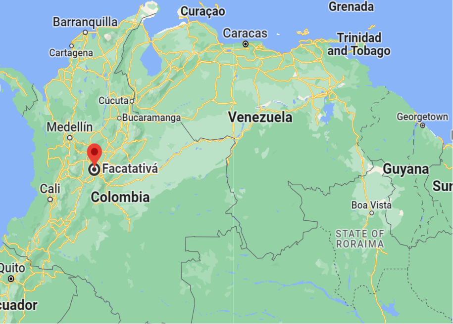
Facatativá, a city nestled in the Sabana de Bogotá plateau of the Eastern Andes, enjoys a strategic geographical location. At an elevation of around 2,580 meters (8,465 feet) above sea level, the city boasts a cool, temperate climate due to its high-altitude positioning in the tropics. Its landscape seamlessly blends the vast plateaus of the Sabana de Bogotá with the encompassing mountainous ridges of the Andes. Notably close is the Piedras del Tunjo Archaeological Park, celebrated for its historical significance and striking rock formations shaped by millennia of erosion. The Bogotá River, a major waterway for the region, courses near the city. Geospatially, Facatativá is positioned at approximately 4.8159° N latitude and 74.3545° W longitude. Its proximity to Bogotá, the Colombian capital, greatly
Influences its regional significance. Surrounding cities like Madrid, Funza, and El Rosal, all within an approximate 20-km radius, further bolster Facatativá’s centrality in this agriculturally rich and culturally vibrant region of Cundinamarca.
Population
155,978 (2020)
136,041 (2018)
One photo representative of the city
The cathedral stands as a prominent symbol of Facatativá, situated adjacent to the Simon Bolivar Plaza in the city’s heart. Its evolution from a simple Catholic church to the magnificent structure seen today is a tale marked by nature’s wrath and human resilience. Established in 1601, the initial church faced its first major challenge in 1785 when an earthquake caused significant damage. Recognizing the need for restoration, Priest Juan de la Mata Salazar y Caicedo spearheaded the construction of a new edifice in 1787, which eventually took on the role of an Augustinian temple.
However, in 1827, another earthquake shook its foundation. Despite sustaining damage, the church remained in use until 1870 when plans for a new temple were set into motion. This structure, which was inaugurated on August 6, 1895, saw the efforts of head priest Agustino Pedro Salazar extend beyond its walls, as he also founded the Priest Home.
Yet nature struck again in the form of an earthquake on February 9, decades later. Realizing the need for a more resilient structure, Bishop Monsignor Raul Zambrano Camader promptly commissioned the construction of a contemporary and durable cathedral, entrusting its design to the architectural firm Vargas Triana & COPRE. This majestic cathedral not only serves as the cherished spiritual hub for the locals but also stands as a testament to Facatativá’s history and a prominent tourist attraction.

Etymology
The name “Facatativá” has its roots in the indigenous Chibcha language, once spoken by the Muisca people who called the area home prior to Spanish colonization. Its meaning has been a subject of interpretation over the years. While the widely acknowledged translation is “fenced fort at the end of the plains” (“Cercado fuerte al final de la llanura”), another rendition is “fenced fort outside the farming soil” (“Cercado fuerte a las afueras de la labranza”). Both interpretations allude to the town’s strategic location on the periphery of the Bogotá savanna.
What the city is known or famous for
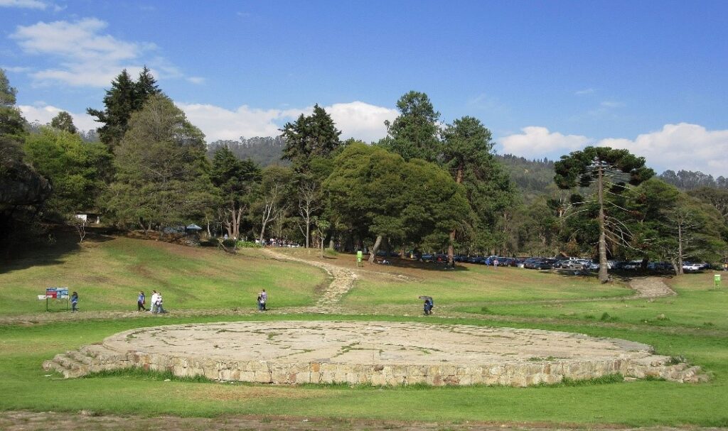
The city is famed for its Piedras del Tunjo Archaeological Park, often referred to simply as Piedras del Tunjo in Colombia. Locally, it’s sometimes called Piedras de Tunja. This park is characterized by its impressive rock formations, which were once part of a lake bed.
