TIERRALTA
Department
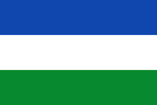
Flag of the Department of Córdoba
Flag of the city
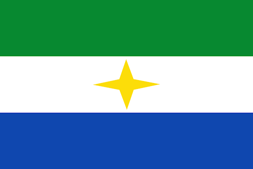
The flag of the city is green, white and blue. The white at the center is embedded with a yellow star.
Slogan of the city
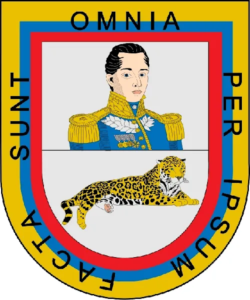
The city does not have a specific slogan and seal. However, on the seal of its department is written “All things were made by Him”. This is a statement of religion and faith.
History
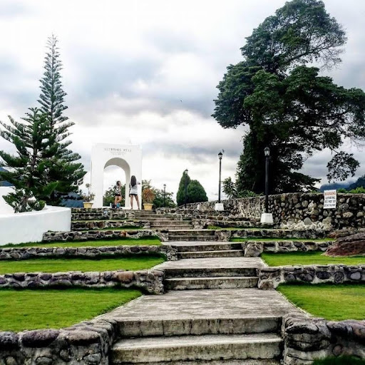
Tierralta, nestled within the Córdoba Department of Colombia, bears a historical narrative that unfolds through various epochs, echoing the broader historical context of the country. In the pre-Colonial period, Tierralta’s landscapes were likely inhabited by indigenous communities, each with its distinct culture and way of life. The arrival of the Spanish in the 16th century marked the onset of the colonial era, witnessing the establishment of settlements and the imprint of Spanish rule on the region. The colonial economy in Tierralta, as elsewhere, revolved around agriculture, mining, and the exploitation of natural resources. Indigenous populations may have experienced the imposition of forced labor during this period. The 19th century brought the fervor for independence, and Tierralta, situated in the midst of historical events, may have played a role in the broader struggle for freedom. Post-independence, Colombia faced challenges of a new nation. Tierralta, like other municipalities, underwent periods of growth, development, and occasional conflict. As the 20th and 21st centuries unfolded, Tierralta likely experienced shifts in economic activities, infrastructure development, and cultural dynamics, contributing to the multifaceted character of the municipality.
Geography of the city
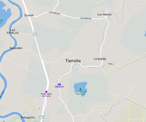
Tierralta reveals its geographical identity with specific coordinates, expansive dimensions, and varying elevations. Located near 7°55’N latitude and 76°10’W longitude, Tierralta is positioned within a defined spot on the Earth’s surface. The municipality spans an extensive 4,938 square kilometers, encompassing both rural and urban landscapes, offering a diverse array of geographical features. The urban confines of Tierralta cover 7.99 square kilometers, representing the more developed and densely populated regions. The town is situated at an elevation of 51 meters above sea level, adding a topographical dimension to its geographical profile. As of the 2020 estimates, Tierralta is home to approximately 95,177 residents across its municipality, with a calculated population density of 19 individuals per square kilometer. Within the urban areas, where the pulse of daily life beats more vigorously, the estimated population is 43,553, resulting in an urban density of 5,500 individuals per square kilometer. These geographical and demographic intricacies collectively paint a vivid picture of Tierralta’s physical dimensions, from its vast territorial expanse to the more concentrated urban spaces, providing a comprehensive understanding of its spatial distribution and population dynamics.
Population
Municipality and town 95,177 (2020)
Urban 43,553 (2020)
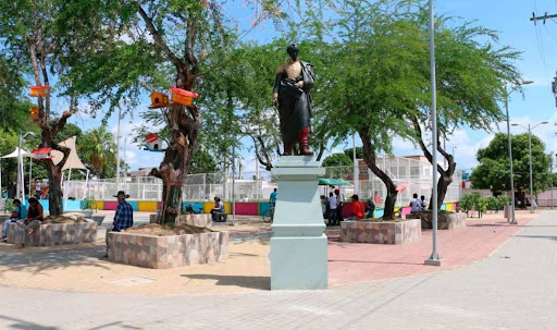
One photo representative of the city
Etymology
While its etymology is unclear, its origin is rooted in historical beliefs and concept.
What the city is known or famous for
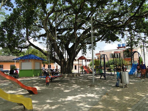
Localities often gain recognition for a variety of reasons, including cultural events, historical significance, natural attractions, or economic activities. Tierralta is known for its cultural events, historical significance, and natural attractions
